Any land surveyor will tell you that the most important component of our work are the dedicated people who bring professionalism and excellence to the field. Yet as much as our surveyors contribute to our success, we know that we could not do it without the help of surveying tools. We’ll outline some standouts, including some that have remained important throughout the years and a couple new advances that allow us to do more than we ever expected.
Basics: Theodolites and Total Stations
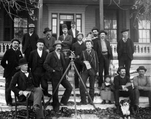
One of the oldest surveying tools on record is the theodolite, which over the years has been updated to adapt to modern needs. It is used for measuring angles in horizontal and vertical planes. The term theodolite has been found to be in use as far back as the 1500s, when the first one was built in Germany in 1576, complete with compass and tripod.
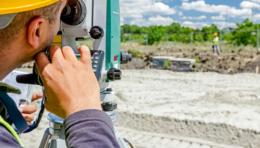
Today’s theodolites use a movable telescope mounted between two horizontal axes. This construction allows angles to be measured with great precision, to milliradian or seconds of arc. Today’s theodolites consist of “integrated electro-optical distance measuring devices, generally infrared based, allowing the measurement in one go of complete three-dimensional vectors.” These more advanced, “intelligent” electronic theodolites are also known as total stations, which are able to perform complex calculations and really help surveyors when mapping a property.
Advances in Technology: GPS and Drones
Surveying is all about helping people and doing it with the most efficiency. For this reason, surveyors were among the first to utilize GPS in our work as it enabled us to help more people faster and with better accuracy. GPS allows for accurate mapping and modeling of the physical world. What once took a team of surveyors weeks now can be accomplished in a day. GPS helps us collect GIS data, which facilitates many things, from Google Maps to disaster response, such as information on the recent Houston flooding from hurricane and tropical storm Harvey.
Finally, one of the most exciting technological developments in surveying are drones. They provide surveyors the ability to see and record information about areas not previously accessible. When equipped with sensors, they can measure information that can be transmitted back to surveyors. Drones offer multiple benefits including accessibility, low risk for surveyors, and high-quality images.
Windrose Land Services utilizes a variety of surveying equipment to bring top-notch mapping and surveying to commercial and residential clients across Houston, Dallas, and more. To see how we can help you with your next project, visit us online today!