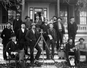
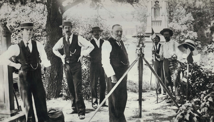
In the general sense, to survey something is to carefully review that object or person and accurately record the results. Nearly every time you make a purchase, you are asked to complete a survey. During election season, people receive countless emails or phone calls asking them to answer a few short survey questions to help predict outcomes. The people conducting surveys ask questions about preference or opinion, then record their responses to better understand outcomes. Surveying is how we learn about the world around us, both in understanding human behavior and recording the physical characteristics of land. Land surveying in its most basic sense began as observing and marking specific points on the earth for establishing boundaries, navigational mapping, and building developments. Although the technology has evolved from ropes and pegs to satellite-powered GPS and laser scanning, thousands of years later, the main purposes of surveying remain the same: establishing boundaries, creating maps, and developing land. In each and every project we do, our Houston surveyors are working to achieve one of these goals.
The natural characteristics of the Earth often create physical boundaries such as mountains, rivers, oceans, forests, etc. As humanity evolved, the need for boundaries grew beyond simply using natural monuments, to manmade boundaries for towns and farms to establish ownership. In rural areas, today, one can still find concrete monuments that mark the corners of specific pieces of land. Boundaries are essential for legal reasons, both establishing ownership and outlining what purpose land can be used for. Someone may own a piece of land, but based on restrictions on the land or public need, they cannot simply build anything or anywhere they want. Right-of-Ways for underground gas and water lines may need to be accessed. Building houses or shops right on top of roadways without leaving room for sidewalks is not feasible either. In this manner, legal boundaries for ownership and purpose establish who owns lands, and what it can and can’t be used for.
To get where you want to go, you must know what route to take. Surveying makes it possible to build and create maps by observing and recording characteristics of the land as well as the distance between various points. For centuries, cartographers utilized manual surveying techniques to build and create maps of the physical layout of land. From maps for exploring rural areas to the creation of roadway systems, this information was essential for navigating. Today, satellite GPS and GIS data is used to create maps and routes; thus, the purpose and accumulation of data form surveying remains just as important. Transportation routes connect us as a society, and land surveying is what’s used to connect those routes together.
Building specific sites and laying out the plans for a development requires knowing what the elevation of the land is, where water will flow on the land, and how land needs to be moved to create an environment suitable for construction. The knowledge for developing is acquired by surveying the land to understanding how it will impact building conditions. Is there proper drainage? How does it need to be leveled? Is there proper access? These questions are answered by surveying the land, and that data is used to establish what needs to be done to build sound developments. Our Texas professional surveying company determines these answers when we conduct our survey.
Overall, surveying is observing and recording of information, and land surveying is this practice as it relates to the physical terrain. To establish legal boundaries, create maps for navigation, and construct developments, this knowledge of the physical terrain is essential for human progression to record and ultimately connect the world around us. Our surveyors in Houston, Dallas, and Austin, TX are committed to honoring the integrity of the profession, as is evident in every job we complete.