Drones: The Future of Surveying

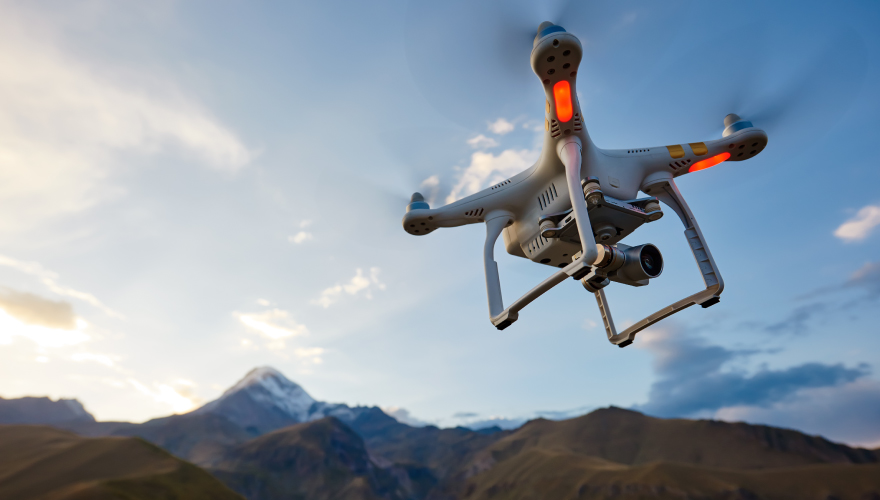
The future is here. There won’t be any hovercars or commercial space travel anytime soon, but the use of drones in land surveying is become more and more of an industry technology.

What are drones?

Drones are small passenger-less aircrafts that are typically remote controlled, also called Unmanned Aerial Vehicles (UAV). They offer many uses like landscape film and photography, surveillance security, and delivering your next Amazon purchases.

What does this mean for land surveying?

While land surveying technology has increasingly developed over time, using drones may become the first option land surveyors use. While there are some setbacks like a long turnaround time for processing data, high costs, new training, and legal paperwork, drones can collect data so quickly that those disadvantages become marginal.

Eventually this technology could change the industry and make the process much more accurate and efficient.

What could this mean for us?

Using drones for land surveying can minimize risk to surveying teams when measuring dangerous sites such as mines, unstable slopes, and transport routes. The digital aerial images give more map versatility for topographical maps, heat maps, and more. Industry leaders even predict a 60% cost savings over conventional survey techniques.

In addition, drones could save surveyors time, leading to increased productivity. Large jobs that would usually take weeks to collect data would take just a matter of days for a drone. Because of this, surveyors would be able to handle more projects and focus efforts on extrapolating data.

We are excited to watch the future of land surveying unfold as new technology becomes available. At Windrose, our Houston surveyors are proud to use a variety of current technologies and instruments in order to obtain the most accurate measurements possible. Drones are something we’re looking forward to showcasing in the future!